Working to protect and enhance the Lickey Hills and their environs
The Lickey Hills
The Lickey Hills are on the border of Birmingham and Worcestershire, covering an area of 524 acres (212ha) and Beacon Hill is the highest point rising to a height of 978 ft (298m). Between 1887 and 1933, public spirited landowners including members of the Cadbury family gave large sections of the Hills to Birmingham City Council to be preserved as public open space. Today, the Hills are a popular attraction for large numbers of people who visit throughout the year.
The Lickey Hills Society (LHS)
The Lickey Hills Society was formed in 1984 to:
- help preserve the landscape and natural beauty of the Hills and surrounding area.
- resist inappropriate developments which would have a detrimental effect on the Hills.
- support the work of the Country Park Rangers to help enhance the Hills
-
to encourage public awareness of the area's natural amenities, history and natural history
{
x: 52.38083867935628,
y: -2.013673782348633,
zoom: 13,
type: google.maps.MapTypeId.ROADMAP,
points: [
{x: 52.38089762012545,
y: -2.0211946964263916,
title:"Monument Lane Car Park"
}, {x: 52.37615590333853,
y: -2.0042699575424194,
title:"Visitor Centre "
}
]
}
As well as the Country Park, the Society's brief includes the area from Rubery in the north to the M42 in the south; and from Marlbrook and the A38 in the west to the Bittell reservoirs in the east.

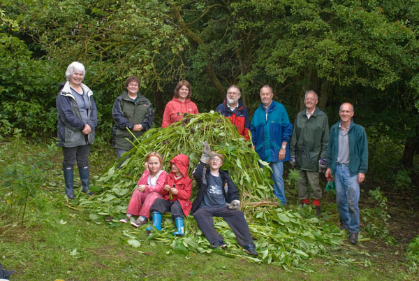
The Society enjoys a close working relationship with the Park Rangers, and it is very appreciative of what they do. To help support their educational work, the Society has provided equipment such as bat detectors, microscopes, nest box cameras and TVs. Support for the Rangers also takes a practical form with our activities like litter picks, heathland clearance and assaults on the invasive Himalayan Balsam.

© 2024 The Lickey Hills Society